
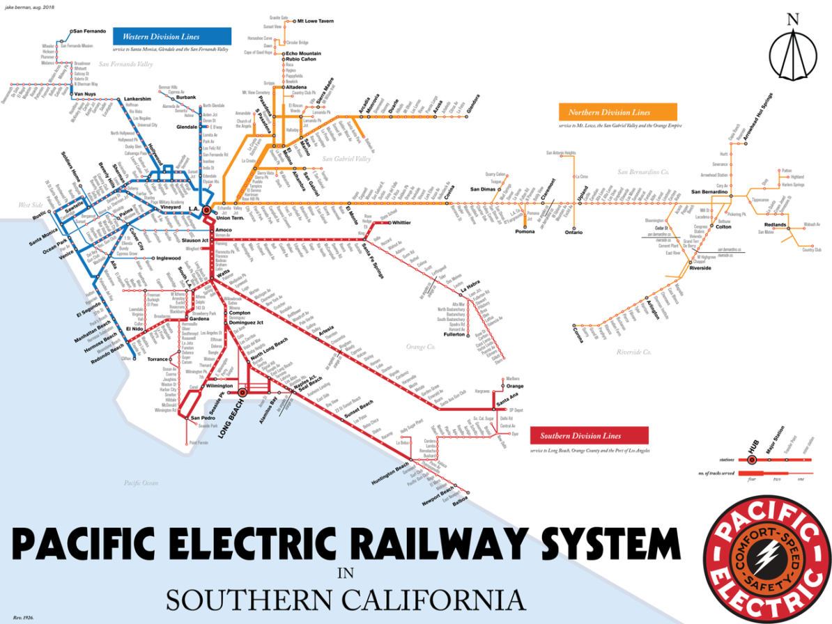

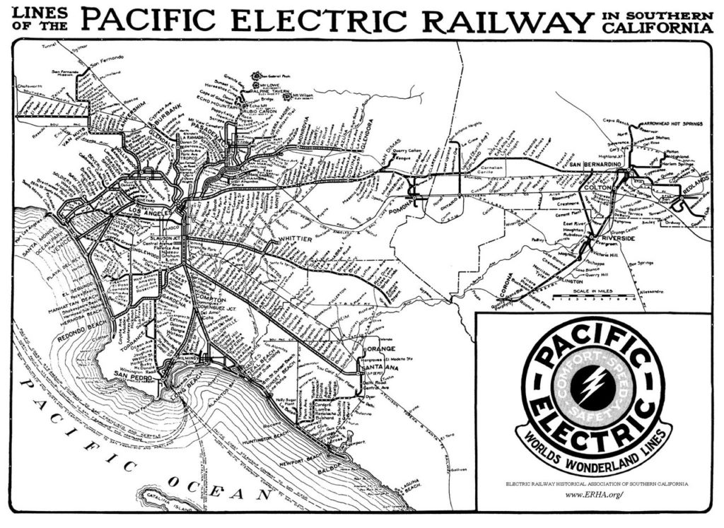
I’m really enjoying this modern take on a map of the Pacific Electric’s sprawling electric streetcar network by Jake Berman. Obviously based on the period map shown (or an extremely similar one!), it retains a lot of the visual energy of the original – mainly because of the multiple angles used for both the route lines and labels. Normally, this might be something I’d find fault with, but I think it’s totally appropriate here when you consider the source material.
However, Jake’s method of showing the number of in-service tracks along each section is easier to understand… varying line thickness certainly works better than the detailed ticked and pecked lines of the old map. Showing the three main railroad divisions is a nice bit of extra information as well – an advantage of a full-colour map. Lots to look at and enjoy here!
Jake sells prints of this map here.
Great map! Are prints available?